Collaborative Geoportal Platform
Unveil our all-in-one centralize platform for multidimensional geospatial insights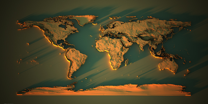
3D Visualizations
Enhance spatial context with 3D. A new and dynamic 3D map style
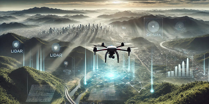
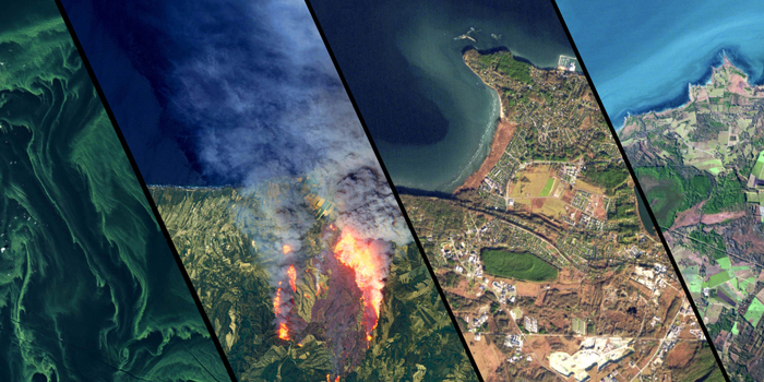
Geospatial AI
Unveil our all-in-one centralize platform for multidimensional geospatial insights